Aug 29, 30, 31
Monday along the
Seashore
About half of our day’s drive up the Oregon Coast


Grandma likes to see light houses, and there are many on
this coast.
At Cook’s Chasm, we watched the power of the ocean as it
crashed into the rocky coast, filing basins and caves with foamy saltwater and
causing a crevice to “spout” like a whale!


We camped at Beverly
Beach State
Park , rated No. 1 in the state, and went south into Newport


And we watched the sunset at Paquina Bay
Tues, Goodbye Pacific

We have reached the turning point of our journey. From this point on, we will head eastward toward home. There are still things to see and places to visit, but we have seen the last of the

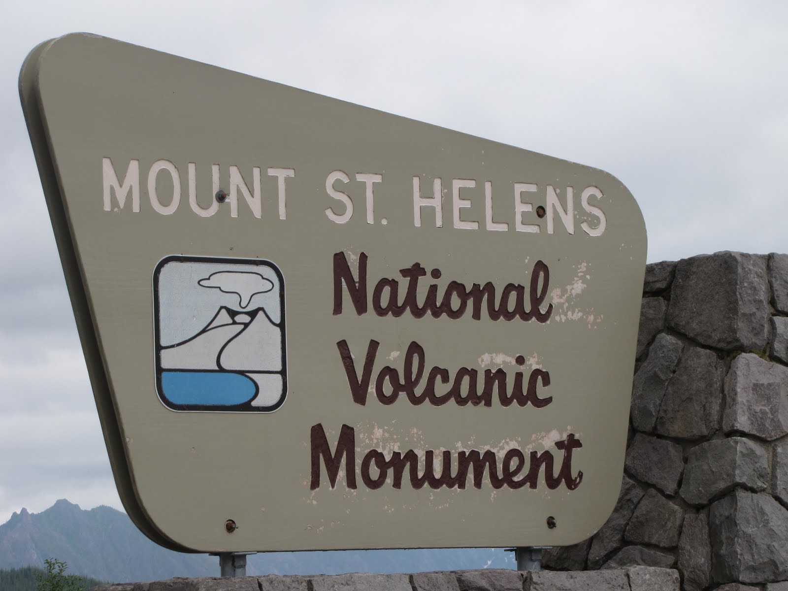
Next stop is Mt St Helens.

Once dubbed the “Mt Fujii of the US
The series of blasts included a landslide, an explusion of
superheated steam and ash, and monstrous mudslides, all of which obliterated
and change the landscape forever!


Since then, many forests were replanted, largely by
Weyerhauser, and natural regrowth is happening slowly.
Since then eruption 30 years ago, scientists have been
studying Mt St Helens carefully. Rapid growth of the lava dome within the
crater, and a series of earthquakes, suggested a possible repeat eruption in
2004 which never happened. Instead, a second, larger lava dome started building
beside the first. Another anomaly is the rapid growth of a glacier within the
crater, while other mountains are losing their glaciers to “global warming.” So
Mt St Helens can truly be called a volcano of fire and ice!

Though the peaks of the crater are covered in clouds,
you can see the front edge of the glacier and part of the lava domes in this
picture.
Wed., Cloudy Peaks
and Flea Markets
Mt Rainier , at 14,410 feet and capped with up to 25
glaciers, is the tallest peak in the lower 48 states. It is generally shrouded
in clouds, and that was how we found it today.

At it’s base, the town of Packwood


Major construction at White Pass
slowed us down, and by the time we got out of sight of Mt Rainier, the weather
cleared….just our luck! But near Clear
Creek Falls

Now we’re crossing the high desert on our way to Spokane for the weekend.
No comments:
Post a Comment